Middle Clouds


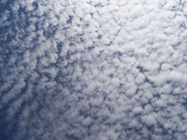
Altocumulus
Altocumulus look like little cotton balls and usually appear in big groups, like this. Sometimes, an extensive area of cirrocumulus can look like fish scales, leading sailors of old to call it ‘mackerel sky’. Altocumulus aren't associated with precipitation themselves, but they signify unstable air in the middle of the atmosphere that can be the sign of an approaching storm system.


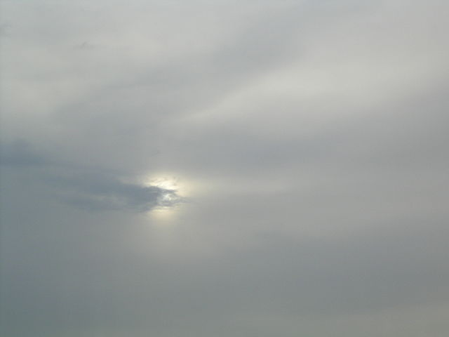
Altostratus
Altostratus is a horizontal cloud like stratus, but higher up in the atmosphere. The sun looks milky and diffuse through it. Altostratus can produce precipitation, but it frequently evaporates before it hits the ground. Sometimes, if there's enough moisture in the lower levels of the atmosphere, altostratus can build down and become nimbostratus.